The Surfrider Foundation applauds the State of Washington and the state ocean caucus for their leadership and dedication to preserving and protecting the marine ecosystem and the various human uses off the Washington coast for future generations. The recently completed marine spatial plan sets out strong policies for protecting fisheries and sensitive resources that are critical to our coastal communities and ocean health. The plan also maximizes Washington’s ability to review and influence decisions in federal waters and sets a foundation for continued engagement and coordination with federal agencies, tribes, and coastal communities. This plan is the result of an inclusive process with numerous stakeholder representatives convened on the Washington Coastal Marine Advisory Council (WCMAC), including recreational representation by the Surfrider Foundation, as well as the incorporation of the best available science. Below is some more background of how we got to this point over many years, where to go for additional information, and how this fits into the national ocean planning context.
The Marine Spatial Plan (MSP) is a scientific and planning resource that:
- Delivers baseline data on coastal uses and resources to capture current conditions and future trends.
- Improves coordination on proposed projects, including among coastal tribes, stakeholders, and local, state and federal agencies
- Outlines project-specific information requirements for future ocean use proposals, consistent with existing state laws and regulations.
- Protects fisheries and important and sensitive ecological areas.
How we got here
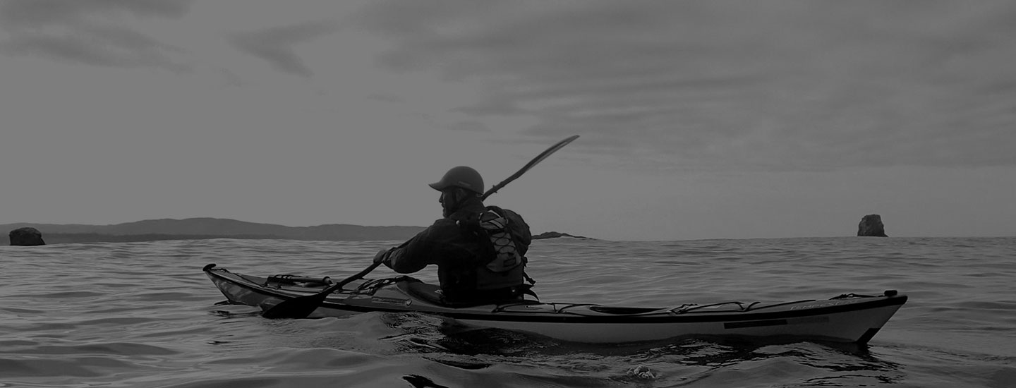
The Surfrider Foundation Washington chapters have been supporting the state’s MSP process since 2010; from playing a lead advocacy role in securing essential funding and building the case, to helping initiate a planning process via our outreach video, to conducting a study on coastal recreation, and attending meeting after meeting. Surfrider has been a primary organization involved in the process and now we finally have a final plan for Washington’s Pacific coast stretching from Cape Disappointment on the South end to Cape Flattery on the North end. All along the way, we’ve been fortunate to have Surfrider staffer Casey Dennehy representing the voice of coastal recreational users in the countless hours of agency and stakeholder meetings, wordsmithing policy language, reviewing maps and data layers, and developing standards and review criteria for how future decisions will be made.
According to Casey, “Completion of the Marine Spatial Plan is a monumental achievement for the state of Washington. Despite the perceived vastness of the ocean, it is a very busy place once you begin looking at all the user data, which is exactly why a comprehensive plan is needed. Developing the plan was a long, deliberate, and sometimes challenging process but thanks to the dedicated, collaborative efforts of WCMAC representatives and state agencies we now have a powerful tool that will help us manage new ocean uses while minimizing impact to coastal communities and dependent businesses, including fishing, oyster growing, tourism and recreation.”
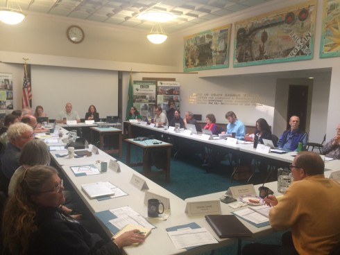 The Washington Coastal Marine Advisory Council meets in Aberdeen and includes members from a wide range of stakeholder representatives, all meetings are open to the public.
Washington Ocean and Coastal Recreational Use Study
A key contribution of the planning process by the Surfrider Foundation was to initiate a study on ocean and coastal recreation along the Washington coast. Prior to this study, spatially explicit data on the various recreational uses and the associated economic contributions didn’t exist.
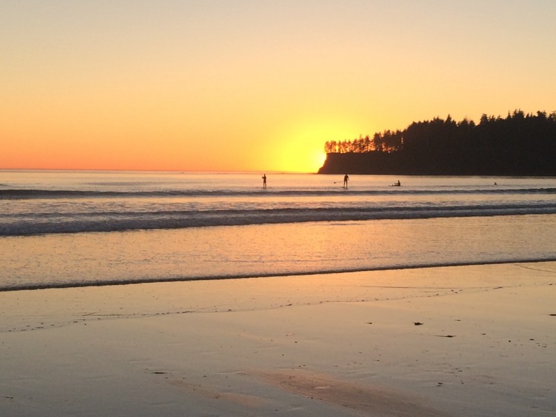
Coastal recreation provides significant economic and social benefits to coastal communities and the state — these include direct expenditures, as well as social benefits, such as citizen enjoyment. In 2014, Washington residents took an estimated 4.1 million trips to the coast, with nearly 60 percent indicating their primary purpose was recreation. That recreation included a variety of activities including beachgoing (67%), sightseeing (62%), photography (36%) hiking and biking (33%), surfing/ kayaking/ boating (7%) and wildlife viewing (40%). When at the coast, the average respondent spent $117.14 per trip, translating to an estimated $481 million dollars in total direct expenditures for coastal communities and the state, through hotel visits, shopping, dining and other trip-related expenditures.
How the Washington Plan Fits into the Larger National Context
The state of Washington and tribal governments are legal co-managers of marine resources within the MSP planning area. The information provided via the plan will also assist state and tribal governments in reviewing and influencing federal activities that may affect ocean resources or uses off the Washington coast, including those proposed in federal waters. One of those possible uses could be offshore oil drilling.
“In light of the Trump administration's recent proposal to open the federal waters adjacent to the Washington coast to offshore oil and gas exploration and drilling, having a final Marine Spatial Plan in place by the state of Washington helps to ensure that any proposed federal action must be consistent with the enforceable policies of the state’s federally approved coastal management program,” said Surfrider’s Washington Policy Manager Gus Gates. “Washingtonian’s have been very clear that they don’t want offshore drilling. And the state’s Ocean Resources Management Act clearly states that there shall be no leasing of Washington's tidal or submerged lands extending from mean high tide seaward three miles along the Washington coast from Cape Flattery south to Cape Disappointment, nor in Grays Harbor, Willapa Bay, and the Columbia river downstream from the Longview bridge, for purposes of oil or gas exploration, development, or production.”
The development of the Washington MSP builds upon Surfrider’s Ocean Protection Initiative, and complements our previous engagement in ocean planning processes that have taken place in Oregon, and the Northeast and Mid-Atlantic regions.
With so much happening in the world and the resulting information overload, few may have noticed that the Trump administration quietly repealed and replaced the National Ocean Policy (NOP). The central goal of the NOP is to scale state level marine spatial plans into larger regional ones since many ocean resources cross state boundaries and could benefit from a broader collaborative process. It is unfortunate that the current administration apparently fails to see the value of bringing stakeholders and the numerous agencies that manage ocean resources together so that we can coordinate efforts and build consensus. While the state of Washington is in a good position to manage our ocean resources moving forward, a shakeup in the regional planning efforts could prove to be a significant setback in the long term.
 As a co-founder of Oregon’s Siuslaw Chapter, to earning his policy chops as Oregon & Washington Policy Manager, to his current role as the West Coast Regional Director, Gus has been an active and inspiring member of the Surfrider network and staff for over 15 years. He attended Oregon State University to pursue a BS in Fisheries and Wildlife Science with a specialty in ecological restoration.